


Skip to content
iankha

Your site, measured flight by flight.

Our photogrammetry and measurement models turn every capture into a digital twin of your project: 2D planimetry, 3D reconstruction, volumetrics and 360° progress, on a platform your project managers and site teams can check from anywhere.

3D point-cloud reconstruction of an urban construction site with one structure selected in blueSiteTrack360
Tower A · flight 14 of 20
Site area4.8 ha
Structure height38.6 m
Stockpile volume3,910 m³
120 haon our main construction project
500+ hasurveyed in planimetry and other services
Weekly to monthly deliverables · georeferenced
The problem we solve

Your site changes every day. Its record can't wait.

Surveys that take days, progress reported from memory and materials measured by eye. We replace manual measurement with data captured from the air, comparable over time.

  1. 01

    Slow, imprecise measurements

    Topographic surveys that take days and leave room for error in elevations, areas and boundaries.

  2. 02

    Little visibility into progress

    Without a comparable visual record, progress is reported from memory and every crew tells a different story.

  3. 03

    Materials measured by hand

    Stockpiles and earthworks calculated by estimate, with costs that show up late.

End-to-end solution

Flight, analytics and platform in one service.

We don't just deliver images: we deliver measurements, comparisons and reports your team uses on site.

  1. 01

    Drone flight

    One-time or recurring capture: the most effective way to collect large amounts of information about a site or a build.

  2. 02

    Analytics

    Intensive data processing, high-precision measurement and progress tracking over time.

  3. 03

    Platform

    All documentation in SiteTrack360, to view, compare and download in real time from desktop or mobile.

Our products

Three readings of the same site.

Planimetry of a plot with the area inside the boundary highlighted in blueArea within the boundary12.4 ha · perimeter 2.1 km
Product 01 · 2D

2D planimetry

Your land at real scale and high precision: areas, perimeters, boundaries and existing features identified.

  • Orthophoto
  • Boundaries
  • Areas and perimeters
  • Existing structures
3D point cloud of an urban construction siteMeasured heightTower A · 38.6 m
Product 02 · 3D

3D reconstruction

A digital twin of your site: topography, hydrology, heights and measurements in three dimensions.

  • Topography
  • Hydrology
  • Heights
  • Digital twin
Construction site with stockpiles360° route · 7 pointsStockpile 03 · 1,240 m³
Product 03 · 4D

Site monitoring

The reconstruction repeated over time: milestones compared with sequential and 360° photos to document how the project evolves.

  • Sequential photos
  • 360°
  • Milestones
  • Volumetrics
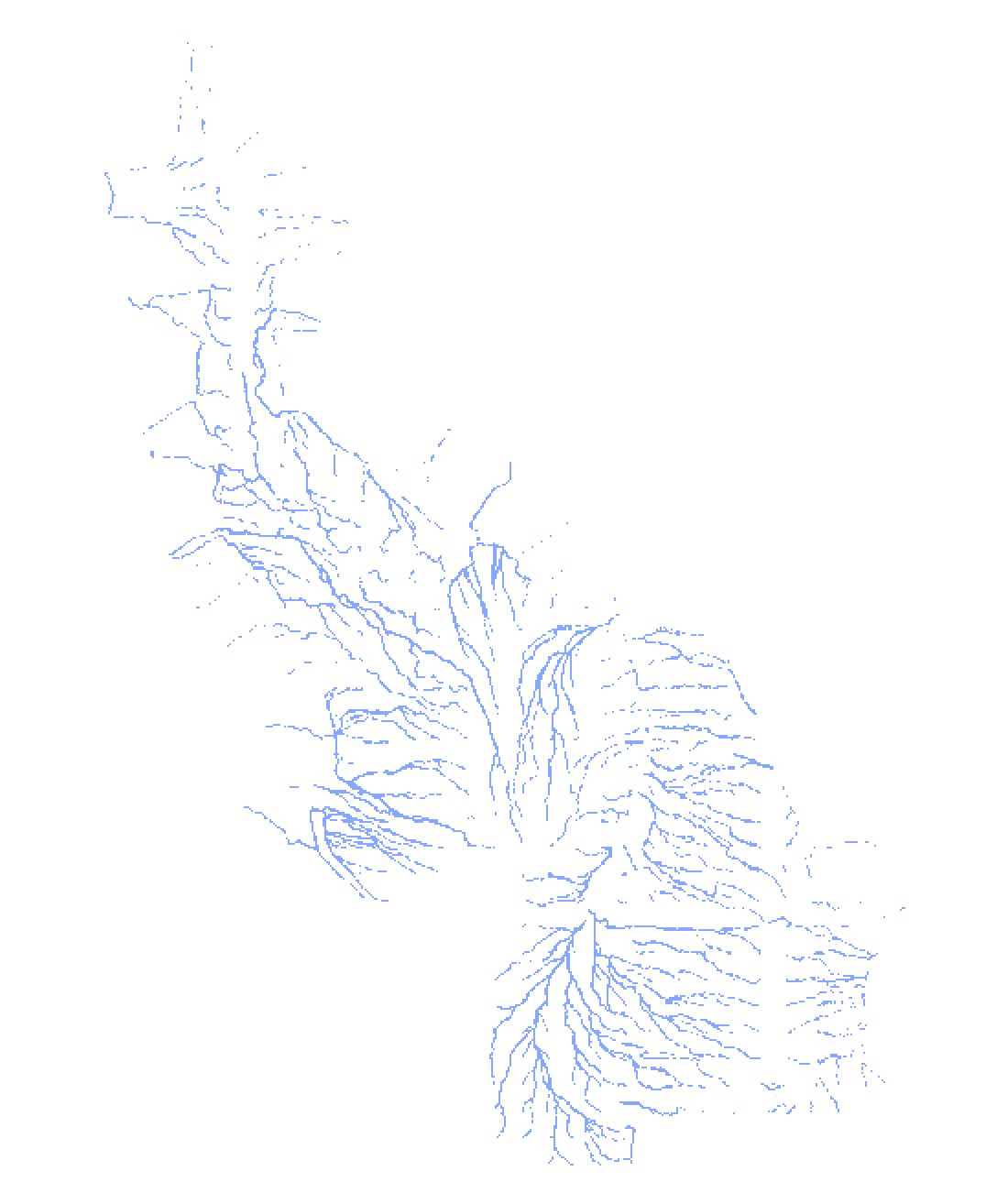
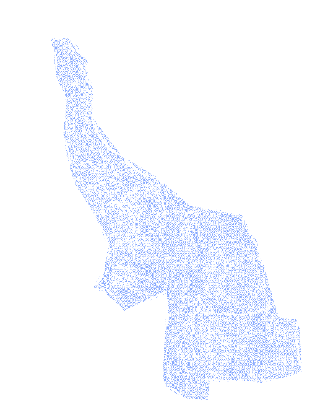
Sloped terrain with contour lines and a runoff network
RunoffBoundaryTerrain
Topography and hydrology

Understand the terrain before you break ground.

The 3D model reveals slopes, elevations and where water flows. That's how drainage, building pads and earthworks get planned with data, not assumptions.

  • Contour linesElevations and slopes
  • RunoffWhere the water flows
  • 3D heights and measurementsStructures and embankments
  • Digital twinA navigable model of the terrain
Sequential comparison

The same point on site, on two dates.

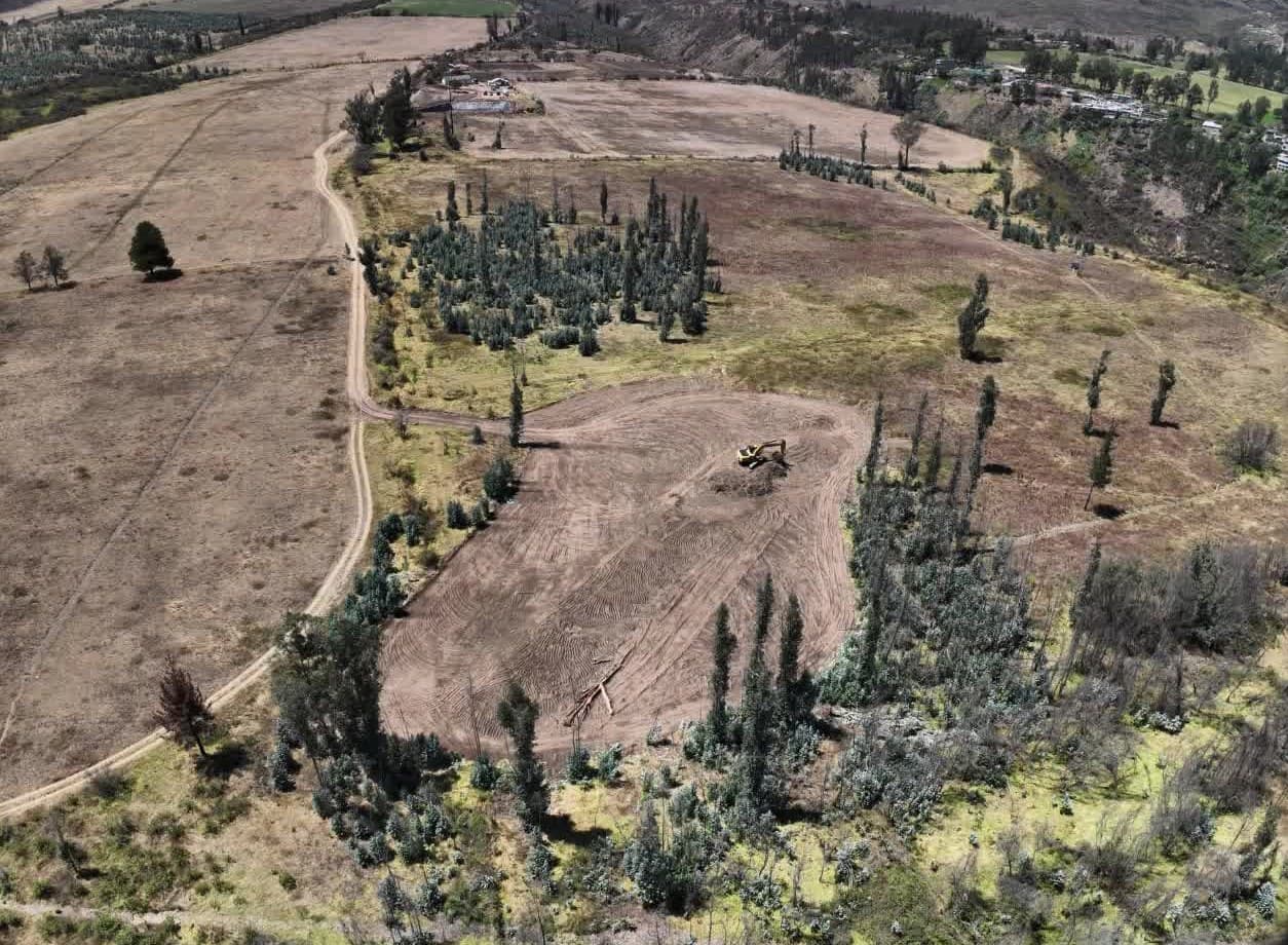
The site before earthworks, oblique aerial view
Baseline capture · week 38
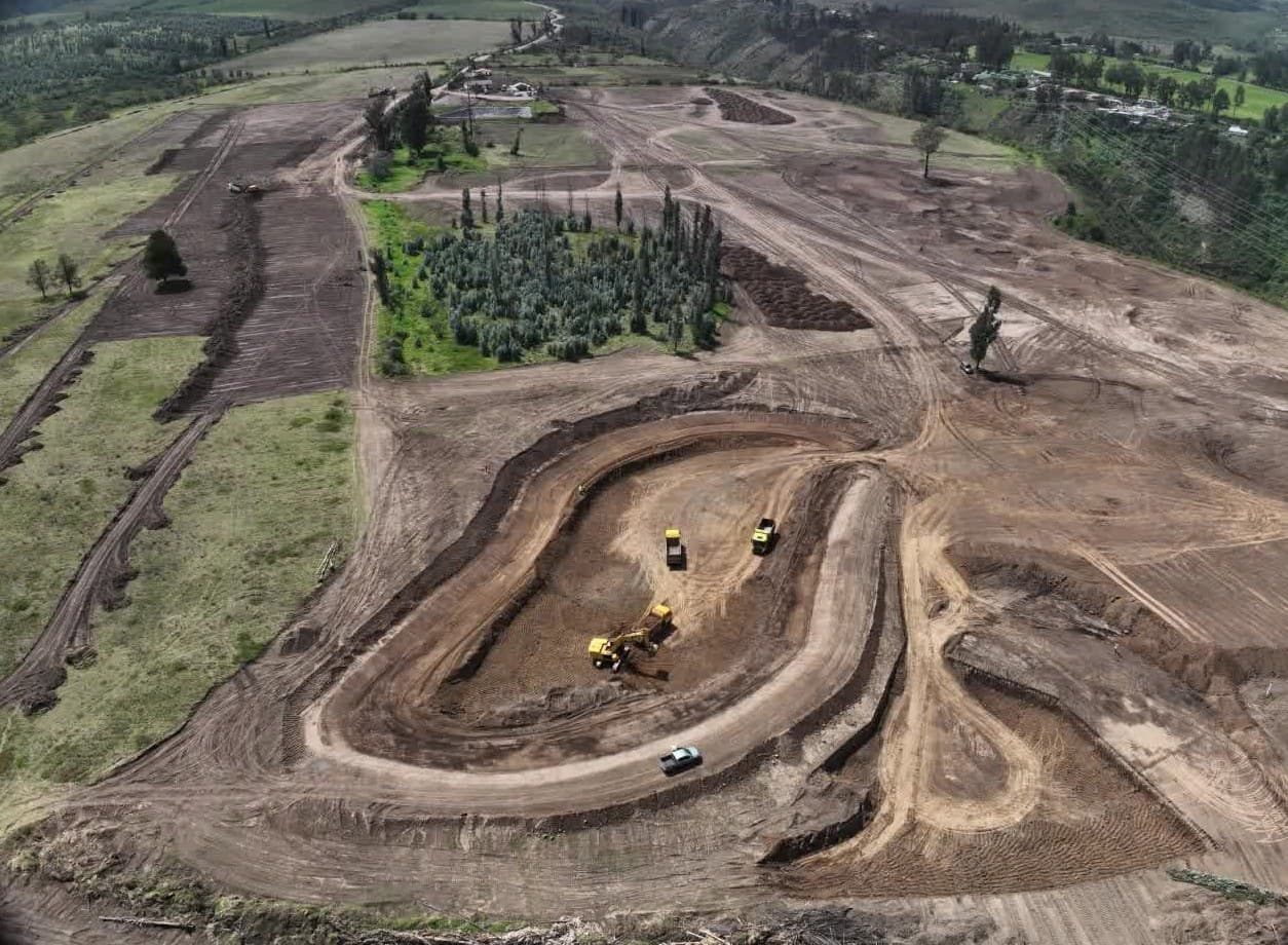
The same site weeks later, with a reservoir excavation underway
Comparison · week 45

Every flight repeats the same capture points. Pick two dates and the progress can be seen, measured and shared.

SiteTrack360 platform

Your whole project in the cloud, on desktop and mobile.

Platform view with the site terrain and a route of 360° points
What we measure

From the property line to the last cubic meter.

Automatic measurement of areas, volumes and dimensions that replaces manual work and speeds up decisions on site.

Services and packages

Choose the scope your project needs.

Each package includes the one before it. One-time or recurring flights, quoted according to project scope.

01

SiteTrack360 Media

360° images and videos of your site, on the platform.

  • 360° image and video viewing
  • File downloads
  • Access to the SiteTrack360 platform
Get a quote
02

Essential Analytics

Planimetry and the current state of the land or site.

  • Orthophoto
  • Boundaries and areas
  • Existing structures
  • Visual inspection of structures
  • Point-in-time status of a site or facility
Get a quote
03Most complete

Advanced Analytics

Everything in Essential, plus the 3D model and tracking over time.

  • 3D reconstruction
  • Volume calculation
  • Infrastructure inspection
  • Reports on specific line items
  • Construction progress
Get a quote
04

Custom

Projects over 100 ha or with a broader analytics scope.

  • Everything in Essential and Advanced
  • Project-specific requirements
  • Custom flight frequency
Let's talk

On-demand services available: spectral indices (NDVI), vertical planimetry and one-off infrastructure inspections.

How we work

From the first meeting to ongoing follow-up.

  1. 01

    Scope definition

    We work with you to understand the site and define the project.

  2. 02

    Initial capture

    Reconstruction of the area, milestone definition and an initial report.

  3. 03

    Processing and analysis

    One-time analytics or the starting point for a recurring program.

  4. 04

    Recurring capture

    Scheduled flights for continuous monitoring of the site.

  5. 05

    Follow-up and on-demand

    Ongoing support and additional services as the project needs them.

Case · Topography and volumes

Earthworks optimized with a 3D digital twin.

For a loading platform, the terrain model defined cut and fill before any machinery moved.

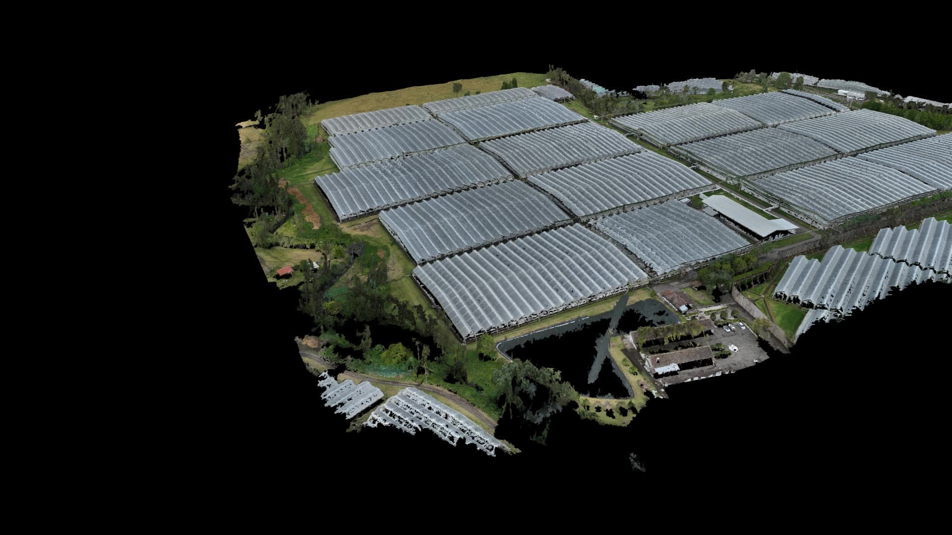
3D reconstruction of a greenhouse complex from drone flights

Stop measuring your site by eye.

Tell us your project's scope and we'll propose the right package and flight frequency.